Cali From Above was commissioned to do work on a complex of apartments that we manage. We wanted to examine some weather-related damage and erosion in several weather-exposed places. From the start, Sahil and his staff were professional. They sent a message to all people inside the property and worked in the early hours to prevent any issue with public trespass, etc. They presented us with an extensive report detailing the location of the damage. I would strongly encourage anybody seeking airborne surveying or inspection to contact Cali From Above.

VTI Properties Inc.
Cali From Above offered an excellent solution to an issue we were facing, offering us with superior deliverables and the data necessary to do trend analysis for this specific asset and monitor its status moving forward. We look forward to collaborating with Cali From Above on further projects in the future.

Over the last year, we've collaborated with Cali From Above on a variety of projects, including aerial surveys and promotional material. Their work ethic and attention to detail have undoubtedly benefited our marketing approach, and their ability to create faultless products is unparalleled.Sahil and his crew are very competent and knowledgeable about the proper usage of their equipment and any applicable legislation in the sector in which they operate. I have no problem in recommending Cali From Above for any future drone-related tasks and look forward to working with them again.

Cali From Above has all of the necessary talents and characteristics of a professional high-end drone service provider, and we are thrilled to have them on board. They consented to shoot for us from the air, which included navigating the strictly restricted no-fly zones. We would like to express our gratitude to Sahil and his team for their outstanding job and would not hesitate to suggest them for any drone-related services.

Remax
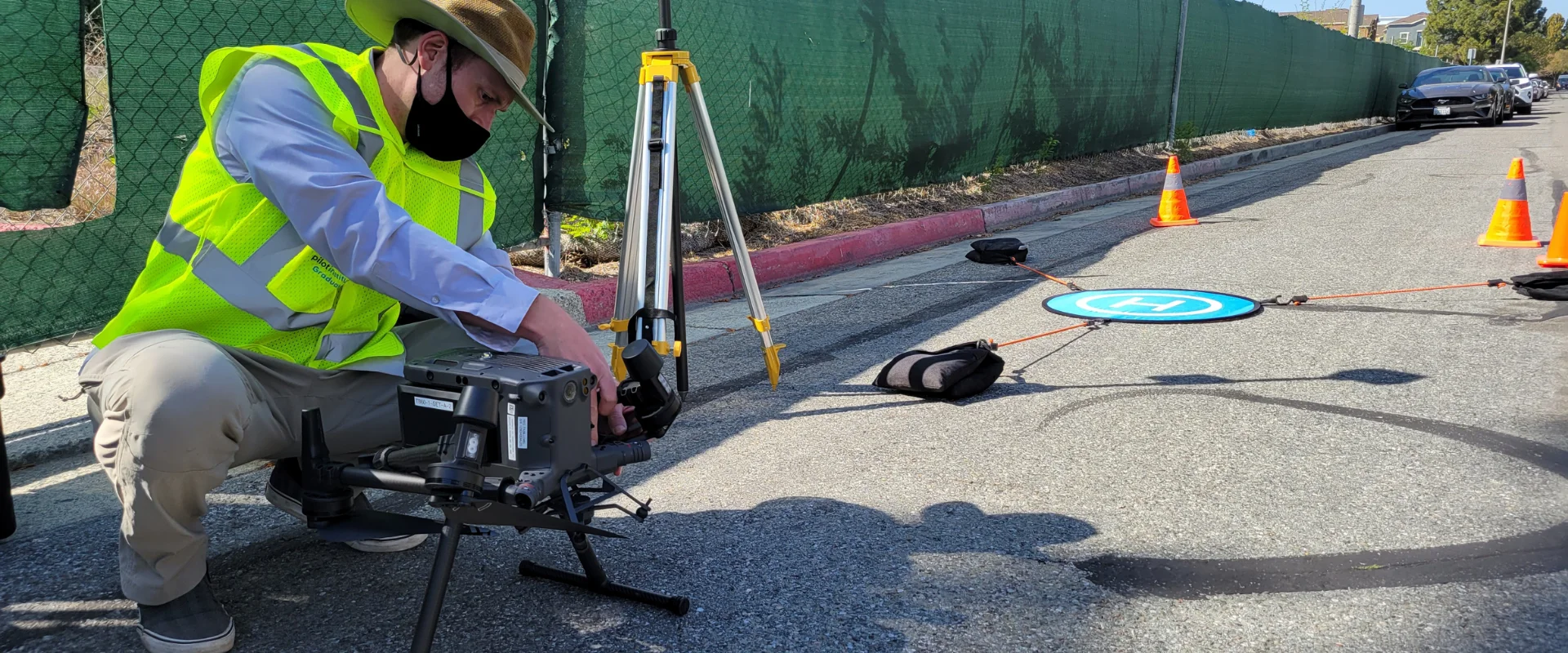
Drone Work During Covid
Drone Work During Covid Flight operations in the times of Covid-19! The Covid-19 pandemic has
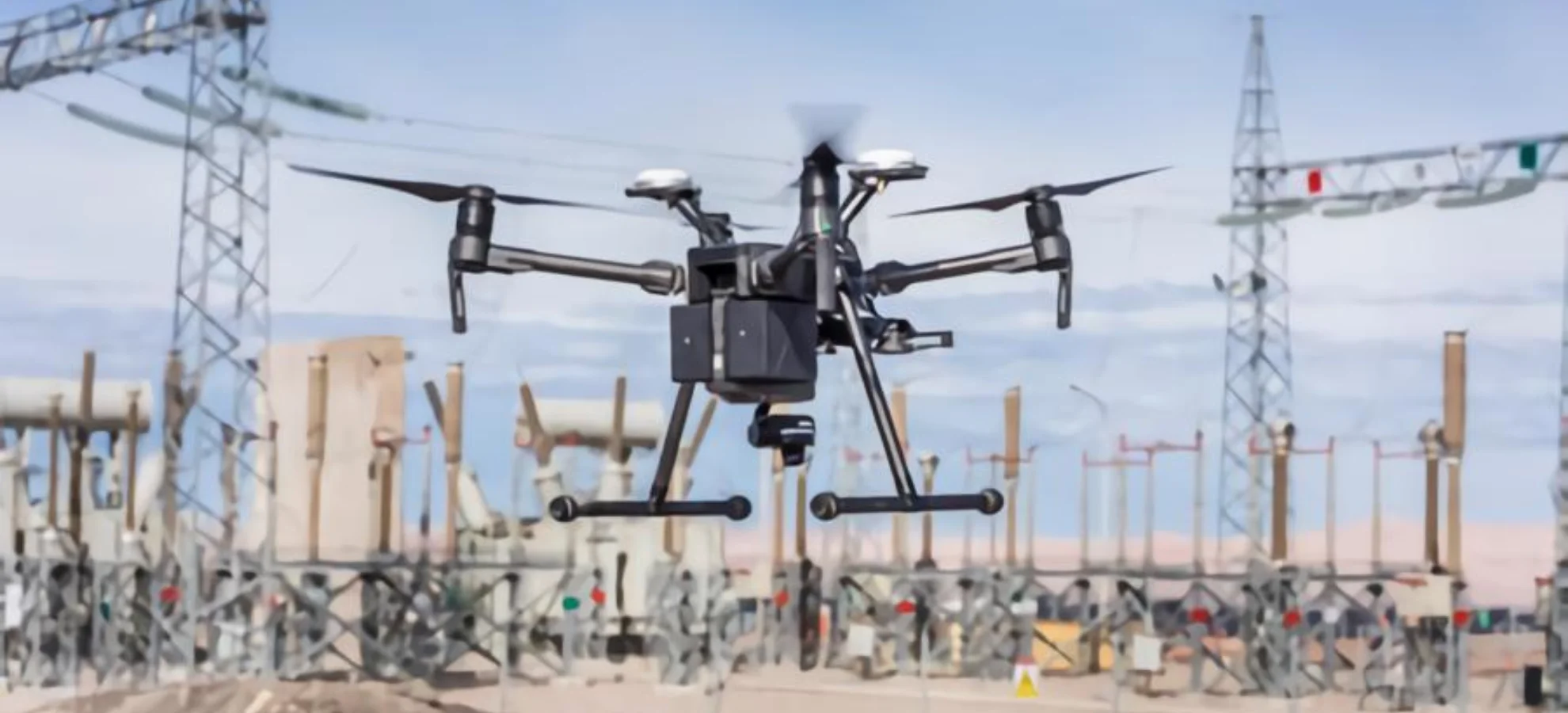
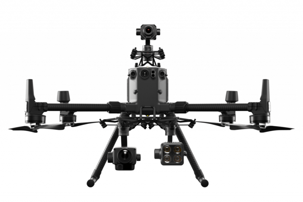
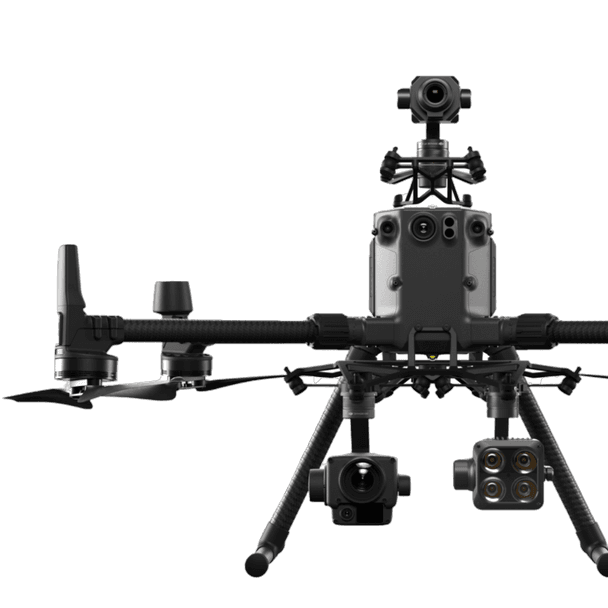
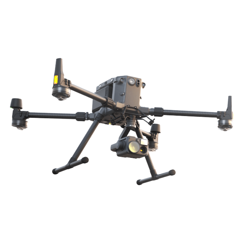
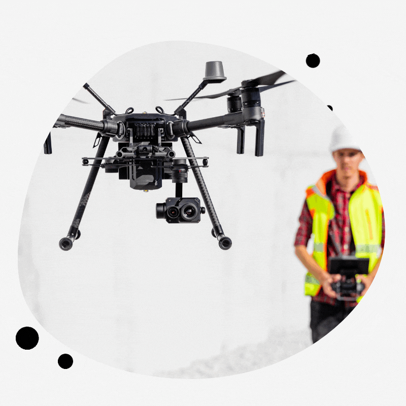
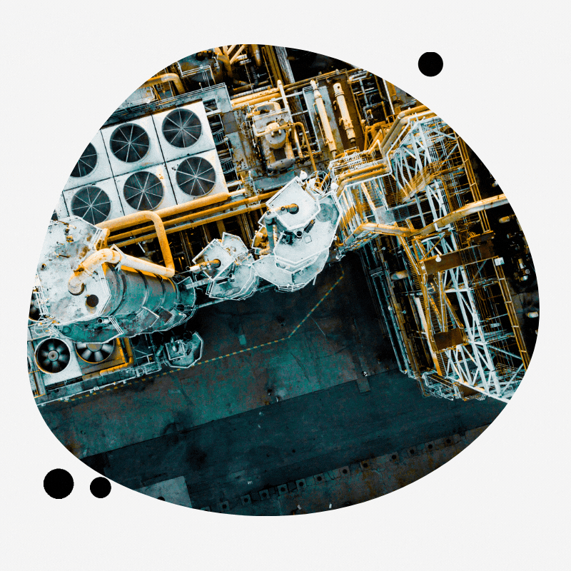
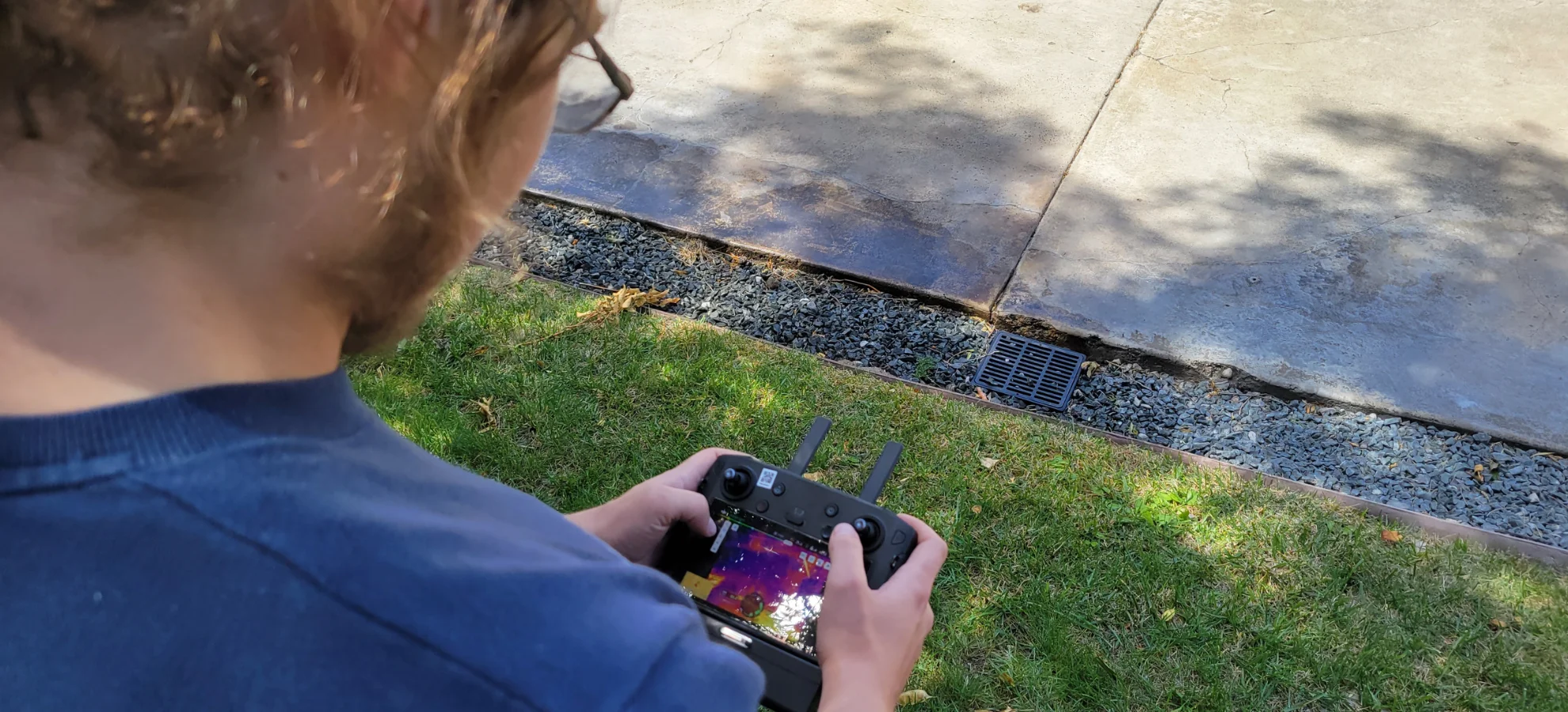
Drones Improving the Safety of Industrial Inspection
Drones Improving the Safety of Industrial Inspection Why is it Important to Employ Drones in
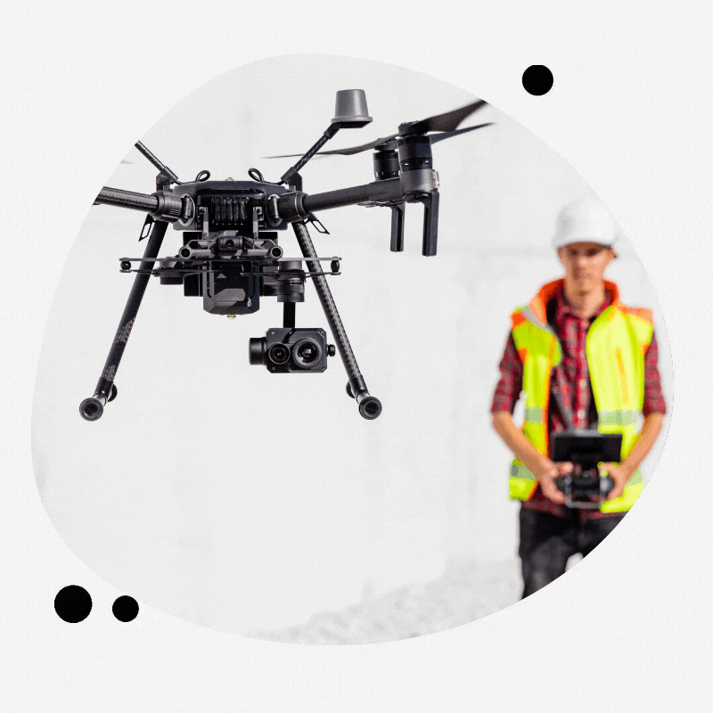
5 Reasons For Outsourcing Drone Services
5 Reasons For Outsourcing Drone Services Why Do Many Industries Outsource Drone Services? The requirement